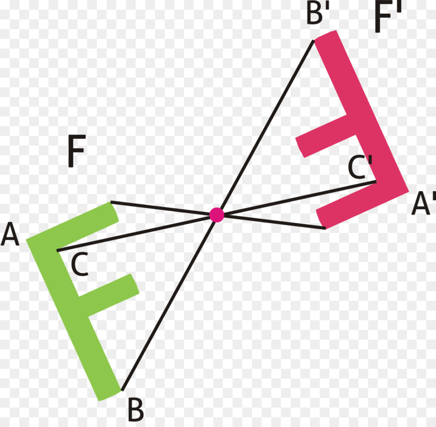
it takes the .raw files the editor outputs and makes them point-symmetric.
The improvement over using image editing software is that you can use a paintbrush tool to select the areas you want to keep.
Here is an example of using it on a heightmap of the grand canyon:

And here is the result inside the map editor:

As of now this only works with heightmaps, stratums are not supported. Also it only works on square heightmaps but as I understand all our heightmaps are square anyways.
Here is a download link. It also comes with the full source code.
http://www.mediafire.com/file/5b4m1ogt8 ... comRAW.zip
Please let me know if you find any problems with it.


